Project's Infos & Updates
Abstract
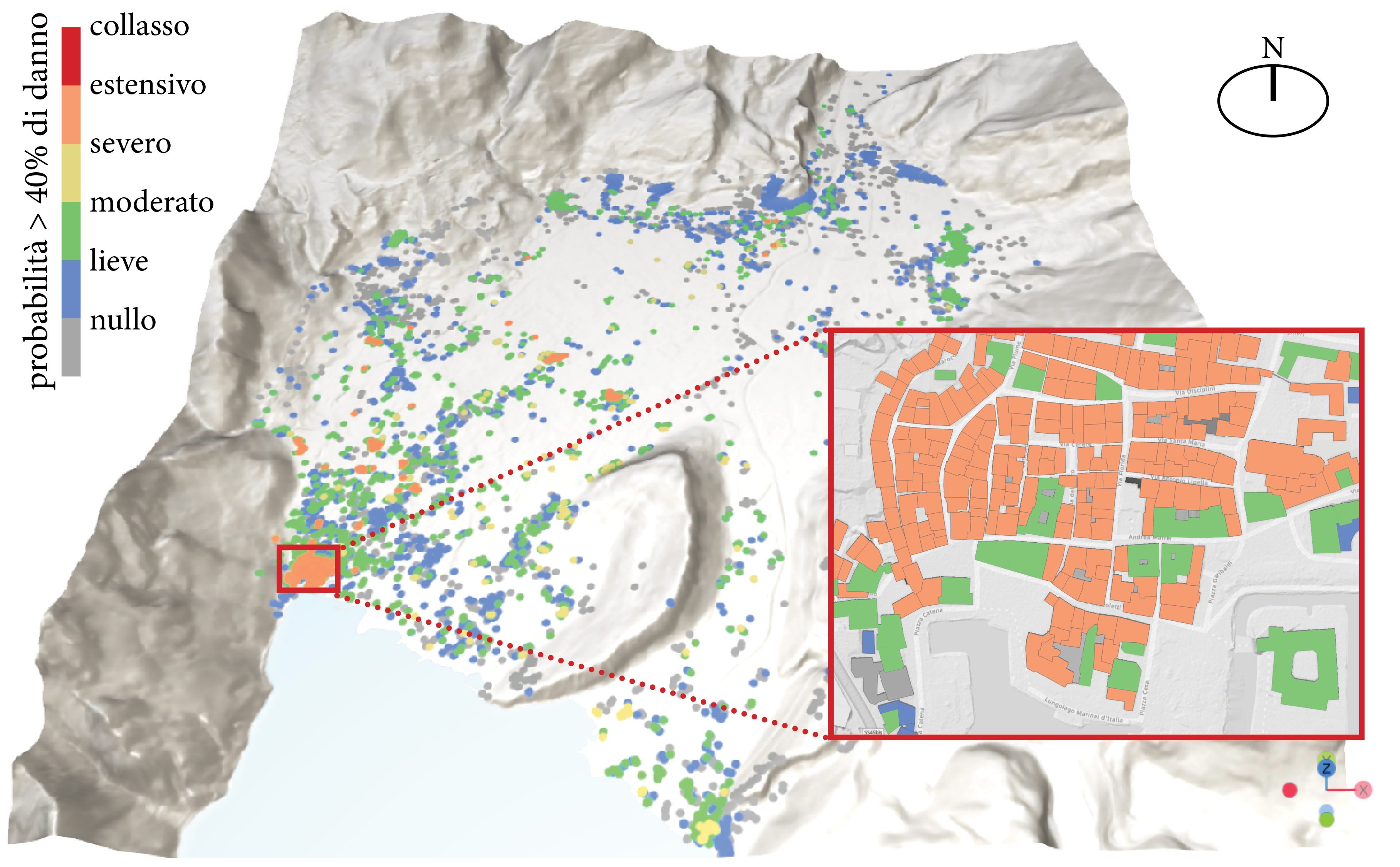
Italy sits on one of the most seismically active regions in Europe — yet comprehensive, high-resolution seismic risk maps at the local scale remain largely unavailable. MAERS (Maps of seismic Exposure and Risk at regional Scale) tackles this gap directly, developing the first Italian prototype of integrated seismic risk maps at a detail level unprecedented in the country.
The project rests on three pillars: microzonation-enhanced seismic hazard (capturing local soil amplification effects often missed by national-scale models), data-driven vulnerability and exposure modeling of the civil building stock (combining machine learning, advanced structural models, and field survey data), and a publicly accessible web-GIS platform for citizens, engineers, and decision-makers alike. The focus area is the Alto Garda region in Northern Italy — a highly seismic territory with a dense and historically rich built heritage — but the methodology is designed to be scalable and replicable across Italian territory.
MAERS is a pioneering effort in Italy, aligned with leading European frameworks such as ESRM20 (European Seismic Risk Model), and is the result of a multi-institutional collaboration between the University of Trento (DICAM), the National Institute of Oceanography and Experimental Geophysics (OGS), the University of Trieste (UniTs), and the Autonomous Province of Trento (PAT).
Main Objectives
- Map the ground beneath us — build a high-resolution seismic hazard model that explicitly captures local soil amplification using microzonation data and consolidated analysis techniques (NHV, GIT, EHV)
- Characterise what is at risk — assess vulnerability and exposure of the civil building stock through structural models (SDOF) and machine learning, with dedicated fragility curves for critical facilities such as schools and hospitals
- Produce Italy’s first local seismic risk map — integrate hazard and vulnerability into a detailed, high-resolution risk picture of the Alto Garda region
- Make data accessible to everyone — deploy an interactive web-GIS platform for both public consultation and expert use, enabling transparent and actionable communication of seismic risk
- Build a transferable framework — design a methodology that is scalable to other urban areas and strategic infrastructure across Italy
- Support decision-making — deliver operational tools for territorial planning, risk mitigation strategies, and emergency management
Updates
| Date | Update |
|---|---|
| 2025 | A PhD scholarship titled “Next Generation of Exposure and Seismic Risk Maps for the Trentino region” has been opened on the MAERS research theme, funded by the Autonomous Province of Trento within the University of Trento doctoral program. Federico Ugolini is now working on this research. |